
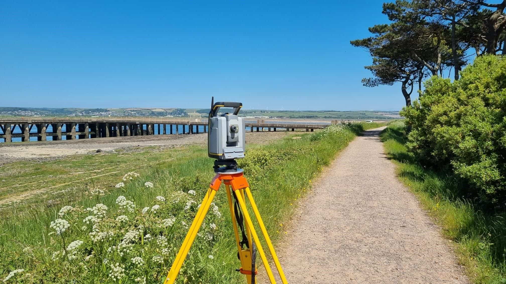
Ordering a topographical survey looks straightforward until the drawings arrive and your architect asks why the levels stop two metres short of the boundary. Most articles on this subject tell you what a topographical survey is. This one assumes you already know, because the real problems on development sites rarely come from misunderstanding the survey itself. They come from the decisions made before it is ever commissioned.
At Premier Surveys, we have delivered topographical surveys across the UK since 1989, and the same avoidable mistakes appear on projects of every size. From single residential plots to major infrastructure schemes, the pattern is consistent. A rushed brief, a late instruction or a missing specification quietly builds cost and delay into a project long before anyone breaks ground.
This article covers the mistakes we see most often, why they happen, and what an experienced developer does differently.
The Industry Reality: A Topographical Survey Is Treated as a Commodity
Here is the uncomfortable truth about how most topographical surveys are procured. A developer or project manager sends the same one-line email to three or four surveying companies: “Please quote for a topo survey of the site at [address].” The cheapest quote wins, the survey is booked, and nobody thinks about it again until the data causes a problem.
The issue is that a topographical survey is not a fixed product. Two surveys of the same site can differ enormously in extent, detail, accuracy and usefulness depending on how they are specified. When you procure on a one-line brief, you are not comparing like with like. You are comparing prices for jobs that each surveyor has interpreted differently.
Land survey work sits at the very start of the design process, which means errors and omissions compound. A missing drainage cover on a survey drawing becomes a clash on the engineering drawings, which becomes a redesign, which becomes a delay. The survey itself might cost a fraction of one percent of the project value, yet it underpins almost every design decision that follows.
With that context in place, here are the mistakes that matter most.
Mistake 1: Ordering the Survey Too Late
The most common mistake is also the simplest. Developers frequently commission the topographical survey after the architect has started concept design, or worse, after a planning application is already being drafted using OS mapping or old drawings found in a data room.
This creates two problems. First, the concept design is built on assumptions about levels, boundaries and features that the survey may contradict. We have seen schemes where a proposed access road had to be completely rerouted because the actual gradient across the site was far steeper than the OS contours suggested. Second, a late survey puts the surveyor under programme pressure, which limits your options if the site turns out to need additional work such as a utility survey or a measured building survey of existing structures.
The better approach is to commission the topographical survey at site acquisition or feasibility stage. Accurate topographical mapping at that point informs the purchase decision itself. Levels affect earthworks costs, drainage strategy and developable area, all of which affect what the land is actually worth to you.
Mistake 2: Not Defining the Survey Extent Properly
“Survey the site” sounds clear until you consider what sits beyond the red line. In practice, almost every development needs information outside the site boundary:
- Adjacent road levels and channel lines for access design and highway agreements
- Neighbouring building positions, heights and window locations for daylight, overlooking and party wall considerations
- Off-site drainage connection points, manholes and invert levels
- Boundary features on both sides of the line, since fences and legal boundaries rarely agree
A survey that stops precisely at the boundary is often unusable for detailed design. The result is a return visit, a second mobilisation charge and a delay while the surveyor is rebooked.
When briefing your surveyor, specify the site boundary and then state explicitly what off-site coverage you need. A competent surveying company will ask about this anyway. If a firm quotes without querying the extent, treat that as a warning sign rather than a convenience.
Mistake 3: Sending a Vague Specification, or None at All
A topographical survey should be specified, not just ordered. At minimum, the brief should address:
- Scale and detail level. A survey suitable for a masterplan at 1:500 will not carry the detail needed for engineering design at 1:200. Detail requirements should reflect the intended use of the data.
- Grid and datum. Most UK development work should be delivered on Ordnance Survey National Grid and Ordnance Datum Newlyn, so the survey integrates with OS mapping, planning drawings and other datasets. Local or arbitrary grids cause endless coordination problems later.
- Feature schedule. State what must be picked up: trees with girths and spreads for arboricultural reports, drainage covers with cover and invert levels, service markers, overhead lines, ridge and eaves levels of adjoining buildings, and so on.
- Deliverables. Confirm the formats you need. Most design teams want CAD data as a minimum, and increasingly a 3D deliverable for BIM workflows.
If writing a specification feels daunting, ask the surveyor to propose one based on your intended use of the data. The conversation itself is valuable. A firm that engages with your project goals will produce more useful data than one that simply prices a line item.
Mistake 4: Ignoring What Lies Below the Surface
A standard topographical survey records visible surface features. It does not tell you what is buried beneath the site. Developers regularly conflate the two, then discover during groundworks that a high-voltage cable or trunk main crosses exactly where the foundations were designed.
If your project involves excavation, new connections or piling, consider commissioning a utility survey alongside the topographical work. Underground services are detected and mapped using electromagnetic location and ground-penetrating radar, and in the UK this work should be carried out in line with PAS 128, the recognised specification for underground utility detection.
Similarly, if the drainage strategy matters to your scheme, and it almost always does, a CCTV drainage survey will confirm the condition, connectivity and capacity of existing systems rather than leaving the engineer to assume them.
Combining these surveys in a single instruction is usually cheaper and faster than procuring them separately, because site mobilisation, control networks and CAD production are shared. It also means the utility data and topographical data sit on the same grid, which removes a common source of coordination error.
Mistake 5: Choosing on Price Alone
Price matters, but on survey work the cheapest quote is often cheap for a reason. Common corners cut include:
- Reduced time on site, which means sparser detail and missed features
- No independent checking of the survey control network
- Junior or subcontracted field staff without proper supervision
- Minimal off-site coverage
- No professional indemnity insurance appropriate to the project value
When comparing quotes, ask each firm what accreditation and quality systems sit behind their work. Regulation by the Royal Institution of Chartered Surveyors (RICS) and certification to ISO 9001 are meaningful indicators that a company works to documented, audited standards. Ask how survey control is established and checked, what instruments are used, and who will actually attend site.
A useful rule of thumb: if the price difference between the cheapest and best quote is less than the cost of half a day of design team time, the saving is an illusion. One coordination error caused by poor survey data will consume that difference many times over.
Mistake 6: Not Thinking About How the Data Will Be Used
Modern surveying technology has changed what a topographical survey can deliver. 3D laser scanning captures millions of measured points in minutes, drone survey techniques produce orthophotos and terrain models across large or inaccessible sites, and the outputs can feed directly into BIM and GIS environments.
Developers who still think of a survey as a flat 2D drawing often under-specify. Questions worth asking before you order:
- Will the design team work in 3D or BIM? If so, request a 3D model or point cloud deliverable from the outset.
- Are there existing buildings that will be retained or altered? A measured building survey can be captured during the same visit.
- Is the site large, live or hazardous? Drone survey capture may be faster, safer and more comprehensive than ground methods alone.
- Will the data feed a GIS system for estate or asset management after completion?
Capturing rich data once and reusing it throughout the project lifecycle is almost always more economical than commissioning separate surveys as each need arises.
Real-World Scenarios
The residential scheme with the missing levels. A developer in the East Midlands commissioned a cheap topographical survey that stopped at the site boundary. When the highway authority requested a Section 278 access design, there was no data for the adjacent carriageway. The return survey visit and redesign added six weeks to the planning programme. Off-site road coverage would have added a modest sum to the original quote.
The warehouse that met a water main. On a commercial site, groundworks uncovered an unrecorded water main running diagonally across the proposed floor slab. No utility survey had been ordered because the topographical drawing “looked complete”. The diversion cost ran into six figures. A PAS 128 utility survey at the outset would have identified the main before the slab was designed.
The refurbishment that reused its data. By contrast, a London client commissioning works to an existing riverside building instructed a combined package: topographical survey, measured building survey and 3D laser scanning in a single visit. The point cloud served the architect during design, the contractor during construction and the facilities team afterwards. One mobilisation, one coordinated dataset, no repeat visits.
What a Good Brief Looks Like
Pulling the above together, a strong topographical survey instruction includes:
- A site plan with the survey extent marked, including off-site areas
- The intended use of the data and the design stage it supports
- Required scale, grid and datum, normally OS National Grid and Ordnance Datum Newlyn
- A feature schedule or a request for the surveyor to propose one
- Deliverable formats, including any 3D, point cloud or BIM requirements
- Any additional surveys to combine, such as utility, drainage or measured building surveys
- Access constraints, timescales and site contacts
A brief of this kind takes perhaps an hour to prepare and transforms both the accuracy of the quotes you receive and the usefulness of the data you get back.
How Premier Surveys Approaches It
Premier Surveys has been delivering land survey and geospatial services across the UK for more than 35 years, from offices in Nottingham and London. We are regulated by RICS and certified to ISO 9001:2015, and we combine established survey methods with GPS, total stations, high-definition laser scanning and UAV capture.
Because we deliver topographical surveys alongside utility surveys, CCTV drainage surveys, measured building surveys, 3D laser scanning and drone surveys, we can scope a single coordinated instruction that covers everything your project needs on one grid and one programme. Before quoting, we ask about your design intent, extents and deliverables, precisely because the mistakes described in this article are so common and so avoidable.
Final Thoughts
A topographical survey is the foundation of every design decision that follows it, yet it is routinely procured with less care than the site hoarding. The mistakes that cause real damage are made before the surveyor ever arrives on site: instructing too late, defining the extent too tightly, skipping the specification, ignoring underground services and buying purely on price.
Get the brief right and the survey becomes an asset that pays for itself many times over across construction planning, design and delivery.
If you are planning a development anywhere in the UK and want a topographical survey scoped properly from the start, speak to the team at Premier Surveys. We will help you define exactly what your project needs before you commit to anything.