
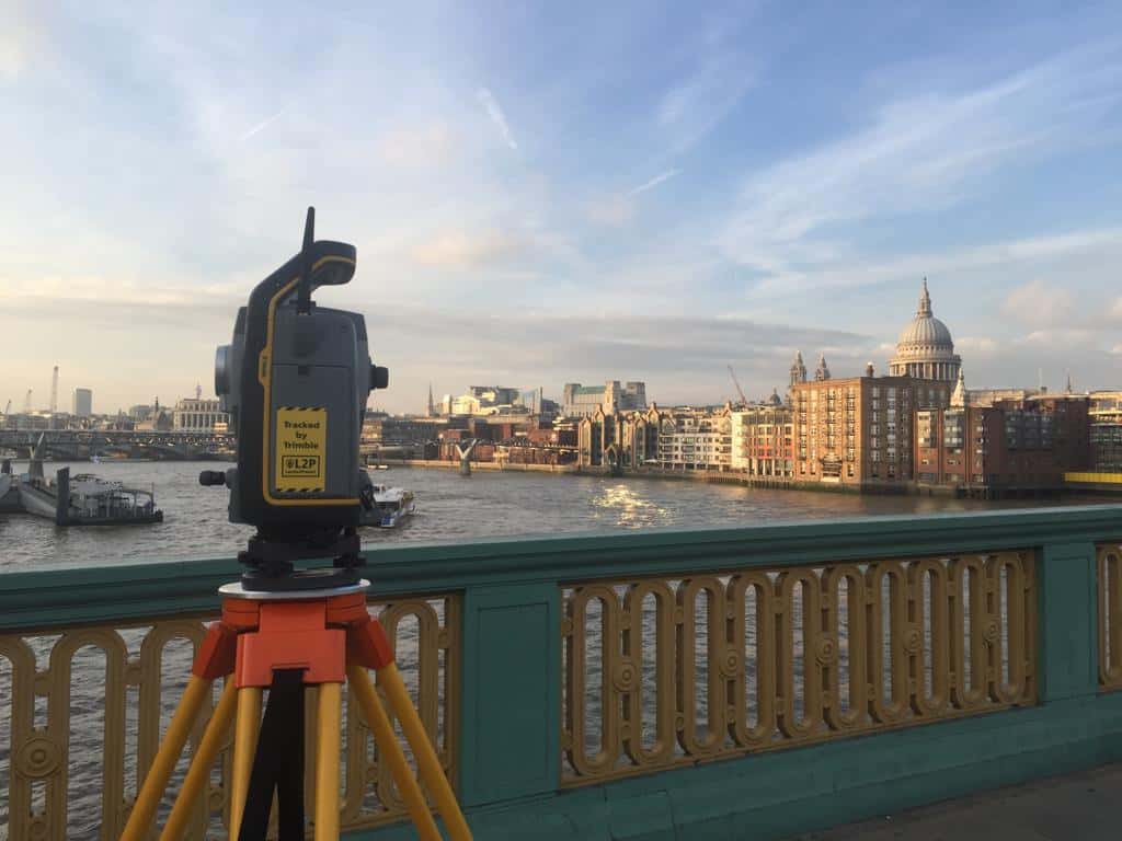
A topographical survey is usually commissioned right at the start of a construction project, then quietly forgotten about. That is a problem, because the site it describes does not stay still. Earthworks reshape levels, temporary haul roads appear, drainage is diverted, and neighbouring developments alter boundaries and features. Twelve months into a build, the original topographical mapping can bear little resemblance to what is actually on the ground.
The question of when a topographical survey should be updated is one that developers, architects and project managers ask far less often than they should. There is no fixed rule written into UK planning policy that says “resurvey every six months”, which is exactly why so many projects run on outdated site data until something goes wrong. This article sets out the practical triggers that should prompt an update, the risks of ignoring them, and how to build survey updates into your programme without blowing the budget.
The Industry Reality: Site Data Has a Shelf Life
Most construction professionals treat a land survey as a one-off deliverable. It arrives as a CAD file or 3D model, the design team builds around it, and it becomes the assumed truth for the rest of the project.
In reality, a topographical survey is a snapshot. It records levels, features, boundaries, services, vegetation and structures at a single moment. On a live construction site, that moment passes quickly. Bulk earthworks alone can change ground levels by several metres across a site within weeks. Add in demolition, temporary works, spoil heaps, drainage installation and utility diversions, and the original site survey can become misleading rather than merely incomplete.
The consequences show up in familiar ways: setting out disputes, drainage that does not fall correctly, retaining walls designed to the wrong ground levels, and earthworks quantities that never reconcile with what was priced. Almost every one of these problems traces back to a decision made using site data that was accurate once, but not any more.
When a Topographical Survey Should Be Updated: The Key Triggers
There is no statutory interval for updating a topographical survey in the UK. The sensible approach is event-driven rather than calendar-driven. These are the moments in a construction project where an update earns its cost many times over.
1. After Bulk Earthworks and Enabling Works
This is the single most important trigger. Once cut and fill operations, demolition or site clearance are complete, the ground bears little resemblance to the original survey. An as-built topographical survey at this stage does three things:
- Confirms formation levels match the design before foundations begin
- Provides accurate volume calculations for earthworks valuations and final accounts
- Creates a reliable baseline for the next phase of construction
Disputes over earthworks quantities are among the most common commercial arguments on UK construction sites. An independent post-earthworks survey settles them with measured fact rather than competing estimates.
2. When the Design Changes Significantly
If the scheme changes, the survey brief that supported the original design may no longer be adequate. A revised layout might push development into a corner of the site that was only surveyed at low detail, or introduce a basement where no below-ground investigation was scoped. Extending the red line boundary, adding storeys that change overlooking and daylight assessments, or rerouting access all create demand for updated or extended topographical mapping.
The update here is often about coverage and detail rather than change on the ground. The site may be untouched, but the questions being asked of the data have changed.
3. After a Long Gap Between Survey and Start on Site
Planning in the UK moves slowly. It is common for two or three years to pass between the original topographical survey and mobilisation, particularly on larger residential schemes working through outline and reserved matters stages.
In that time, vegetation grows or is cleared, structures are altered or vandalised, fly-tipping appears, watercourses shift, and adjacent land changes hands and character. A verification survey before start on site is a modest cost against the risk of setting out a multi-million pound scheme on assumptions that no longer hold. As a rule of thumb, if more than 18 to 24 months have passed and the site has been accessible to third parties, weather or vegetation growth, verify before you build.
4. When Adjacent or Third-Party Works Affect the Site
Construction does not happen in isolation. A neighbouring development regrading its land, a highways scheme altering kerb lines and levels at your access point, or a utility company installing new apparatus along your frontage can all invalidate parts of your survey. Boundary features are particularly vulnerable: fences move, hedges are removed, and walls are rebuilt in slightly different positions more often than anyone expects.
If your interface with adjacent land matters, and on most urban sites it does, resurvey the affected areas once third-party works complete.
5. After Flooding, Storm Damage or Significant Weather Events
Sites near rivers, streams and coastal areas are especially exposed. A single flood event can deposit or scour material, shift channel positions and alter bank profiles. Where flood risk assessments and drainage strategies depend on accurate levels, a watercourse survey and updated topographical data after a major event is not optional. The Environment Agency and lead local flood authorities will expect drainage designs to reflect current conditions, not conditions from before the last storm.
6. Before Critical Setting Out and at Key Handover Points
Even without dramatic change, certain project milestones justify fresh data. Before setting out foundations, podium slabs or steel frames, many contractors commission a check survey of the working platform. At practical completion, an as-built topographical survey records final levels, drainage, hard landscaping and services for adoption agreements, Section 38 and Section 104 submissions, and the health and safety file. These as-built records are increasingly a contractual requirement rather than a nice-to-have.
Real-World Scenarios Where Outdated Surveys Caused Problems
The triggers above are easier to take seriously with concrete examples of the kind of situations surveyors encounter repeatedly on UK sites.
The two-year planning delay. A residential developer secured consent based on a topographical survey carried out three years earlier. In the interim, an adjacent landowner had regraded their plot and installed a retaining structure near the shared boundary. The approved drainage strategy relied on levels that no longer existed. The redesign, resubmission and delay cost far more than a verification survey would have.
The earthworks final account dispute. A groundworks contractor claimed for significantly more muck-away than the client expected. With no post-earthworks survey, neither party could prove volumes. The eventual settlement was a negotiated compromise that satisfied nobody. A drone survey flown at completion of earthworks would have produced an accurate digital terrain model and resolved the question in days.
The basement that met a surprise. A commercial scheme added a basement level during design development. The original site survey had never been scoped to support below-ground design, and the utility record drawings were incomplete. A PAS 128 compliant utility survey, commissioned late, revealed services crossing the excavation footprint. Because it came after the structural design was frozen, the diversion works forced a redesign under pressure.
None of these situations involved poor surveying. In each case, the original survey was accurate on the day it was carried out. The failure was treating that day as permanent.
How to Decide: Update, Extend or Verify
Not every trigger demands a full resurvey of the whole site. Understanding the options keeps costs proportionate.
A verification survey checks key features and levels against the existing survey. It is quick, targeted and ideal after long delays where little change is expected. If discrepancies emerge, it can be extended.
A partial update resurveys only the areas affected by change, such as a completed earthworks platform, an altered boundary or a diverted watercourse. The new data is merged into the existing survey model.
A full resurvey is justified where change is extensive, where the original survey is old or of unknown provenance, or where the project is entering a phase, such as detailed drainage design or adoption submissions, that demands current, comprehensive data.
The decision-making factors are straightforward: how much has physically changed, how sensitive is the next design or construction decision to levels and positions, and what is the cost of being wrong? Foundations, drainage, retaining structures and boundary interfaces sit at the sensitive end. Soft landscaping does not.
Modern Survey Methods Make Updates Faster and Cheaper Than You Think
Part of the reluctance to update a topographical survey comes from an outdated view of what surveying involves. Modern methods have transformed the speed and cost of capturing site data.
Drone surveys can capture an entire site in hours, producing orthophotos, point clouds and digital terrain models that are ideal for earthworks verification and progress monitoring. 3D laser scanning captures dense, millimetre-accurate data around structures and complex environments where aerial methods struggle. GPS and total station techniques remain the backbone for control, boundaries and precise setting out checks.
On many projects, the most cost-effective approach is a hybrid: robust ground control established at the outset, then rapid drone or scanning updates at each trigger point, all tied to the same coordinate system. Because every update shares the original control network, new data drops straight into the existing CAD or BIM environment, and comparisons between survey epochs become simple. This is also how progressive contractors now run monthly earthworks valuations: repeat drone flights against a consistent baseline, with volumes calculated from measured surfaces rather than dumper counts.
Building Survey Updates Into Your Programme
The projects that avoid survey-related problems share a common habit: they plan for updates at the start rather than reacting to problems later. Practical steps worth adopting:
- Write survey update points into the programme at enabling works completion, pre-foundation setting out and practical completion
- Establish permanent survey control at the outset so every future survey ties to the same grid and datum
- Record the date and scope of the current survey on drawings, so nobody mistakes old data for current data
- Include verification surveys as a standing item in risk registers for schemes with long planning timelines
- Specify as-built survey deliverables in subcontract packages for drainage and external works
Treated this way, survey updates stop being an unplanned cost and become a routine control, in the same category as concrete cube tests or steel inspections: modest, scheduled expenditure that protects against expensive failure.
How Premier Surveys Supports Construction Projects Through Every Phase
Premier Surveys has been delivering topographical surveys across the UK since 1989, working nationwide from offices in Nottingham and London. That experience spans the full life of construction projects, not just the initial survey: post-earthworks verification, drone surveys for volume calculations, 3D laser scanning of completed structures, utility surveys to PAS 128, watercourse surveys for flood-sensitive sites and as-built surveys for adoption and handover.
Because the company is RICS regulated and certified to ISO 9001:2015, clients get consistent standards whether the instruction is a full site survey or a targeted update of a single boundary. Every survey is delivered on a robust control network, which means updates commissioned months or years later integrate cleanly with the original data.
Conclusion: Treat Your Survey as a Living Document
A topographical survey is the foundation of every design and construction decision that follows it, but it only describes the site as it was on the day of measurement. The projects that run smoothly are the ones that recognise this and update their site data at the moments that matter: after earthworks, after design changes, after long delays, after third-party works and weather events, and at critical setting out and handover points.
The cost of an update is small and predictable. The cost of building on stale data is neither. If your project has passed one of these trigger points, or you are unsure whether your existing survey still reflects reality, speak to Premier Surveys about a verification or update survey scoped to your site and programme.