
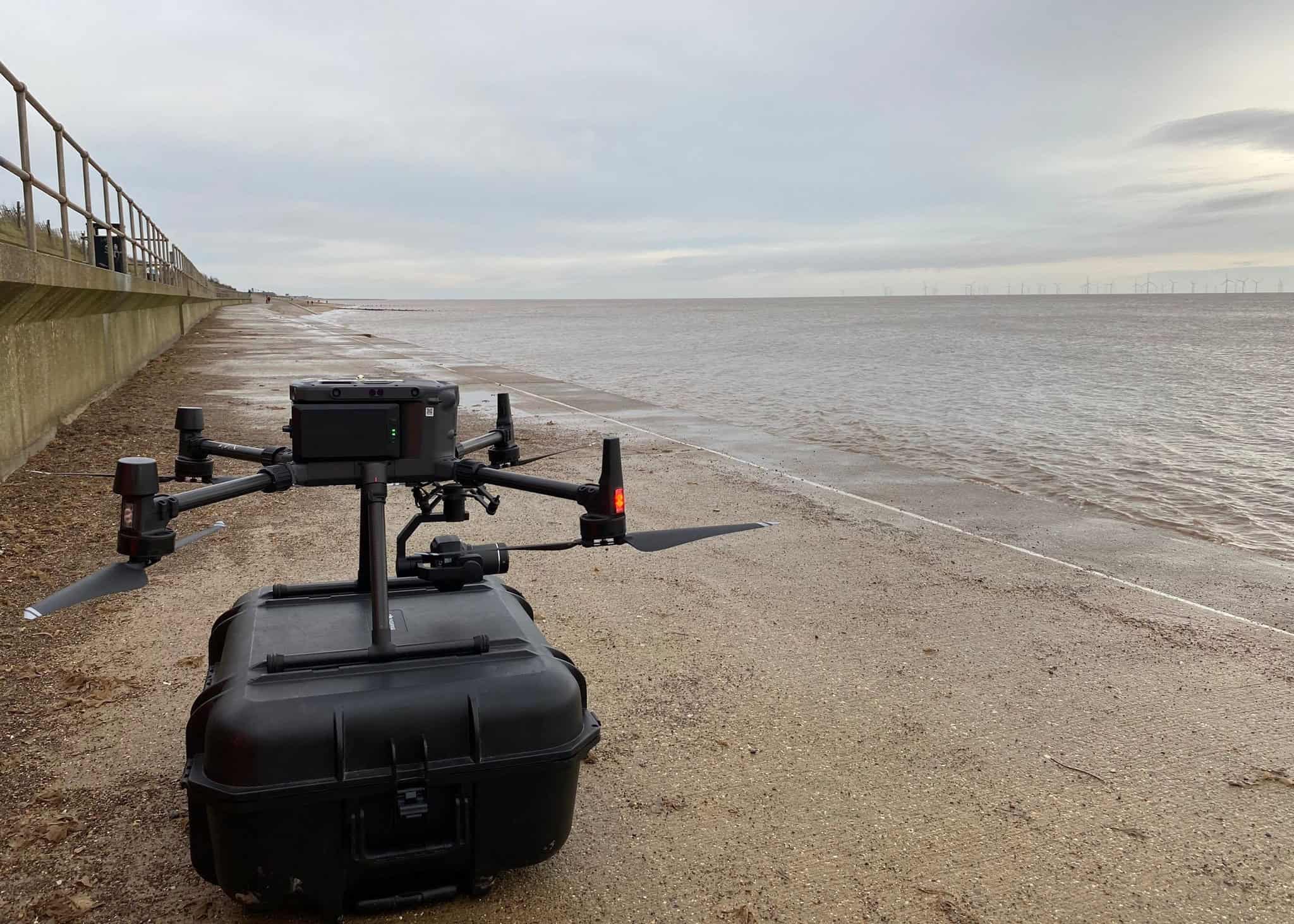
A drone building survey is often sold as the obvious modern choice for any structure, but that framing skips the question that actually decides the result: what does this specific building need captured, and at what level of detail? Drones earn their place on some jobs and waste budget on others, and the gap between the two is wider than most marketing material admits.
The industry reality
The drone market has spent five years insisting that aerial capture replaces traditional measured building work. It does not. UAV survey has expanded what is practical to capture, especially on roofs, large facades, and inaccessible elevations, but a competent measured building survey still relies on traditional instrument work for fine internal detail, level transfer, and any element a drone physically cannot see.
The honest position is that drone building survey and traditional methods overlap on a small number of tasks, and most professional jobs use both. The interesting decision is which one leads, not which one wins.
What actually matters
What a drone building survey actually captures
A modern UAV survey produces high-resolution orthophotos of facades, a dense point cloud of the visible building envelope, and a digital terrain or surface model of the surrounding ground. With photogrammetry or LiDAR payloads, accuracy on a controlled flight typically sits between 10mm and 30mm at standard altitudes, which is more than enough for facade condition surveys, planning visualisations, and most BIM existing-conditions work on the external shell.
What a drone does not capture is interior space, anything behind an overhang or under a canopy, and detail in deep recesses where flight clearance is impossible. It also does not transfer levels accurately into interior floors without ground control work, which is a traditional surveying task.
When the drone leads the job
Large building footprints where scaffolding or MEWP access would dominate the cost.
Roofs that are unsafe to walk, fragile, or steeply pitched.
Facades on high-rise structures where rope access is the alternative.
Heritage buildings where physical contact must be minimised.
Sites where the surrounding terrain matters as much as the building, for example flood-risk assessments or sloping ground developments.
Time-pressured captures where a full traditional measured survey would take days but a drone flight takes a morning.
When traditional methods lead the job
Interior measured surveys for floor plans, sections, and elevations of habitable space.
Heritage detail where sub-5mm accuracy is needed on specific features (mouldings, carved stone, joinery).
Buildings in restricted airspace where drone flight is not permissible without lengthy permissions.
Smaller buildings where the setup time for a drone flight outweighs the field time of a total station and laser scanner.
Projects that need verified RICS-compliant deliverables tied to a specific coordinate system from the first visit.
The hybrid approach is usually the right answer
Most professional measured building surveys on anything over a small detached property end up using both methods. The drone captures the envelope and the wider context. Internal teams capture the interior and tie everything to a single coordinate frame. The two datasets register against each other through shared control points.
A surveyor who tries to sell you a “drone only” package on a building that has interior work pending is solving for their day rate, not your project. A surveyor who refuses to fly when the roof would otherwise need scaffolding is doing the same in reverse.
What the deliverable actually looks like
The output from a drone building survey is not a flat image. It should be a registered point cloud and ortho set, with a coordinate system noted, a ground sample distance stated for each ortho, and a confidence range for the point cloud accuracy. If you receive a folder of high-resolution photographs and a “model” with no scale reference, you have not received a survey. You have received imagery.
A real scenario
A development team commissioned a measured building survey of a Victorian warehouse in central London, intending to convert it to apartments. The original brief specified a traditional measured survey of the full building. The site had limited road access, a deep mansard roof that was unsafe to walk, and tight party-wall conditions on both sides.
A pure traditional approach would have required a tower scaffold along two elevations and roof access via MEWP, adding around £18,000 in access costs and three weeks to the programme. A pure drone approach would have skipped every interior floor plan and structural opening required for the planning application.
The job ran as a hybrid: drone capture of the roof, both gable ends, and the courtyard side. Traditional measured work for all four internal floors, the main staircase, and the front facade where street width allowed total station setup. The two datasets were tied through GCPs on the parapet and at street level. The combined deliverable cost less than the traditional-only quote and arrived two weeks earlier.
The insight most briefs miss
The choice between drone and traditional is not made at the quote stage. It is made when someone walks the site and decides what each part of the building actually needs. A surveyor who quotes from a postcode and a building age is guessing. The right brief invites a site visit before pricing, especially on anything heritage, anything tall, and anything with restricted access.
Why Premier Surveys works this way
At Premier Surveys, drone building survey work runs alongside our measured building survey and 3D laser scanning teams rather than as a separate product. We scope each job on site, decide which method leads, and tie all captured data to a single coordinate system in the final deliverable. UAV operations are flown under our CAA permissions with the appropriate insurance and operational risk assessment for the airspace involved.
Conclusion
Drone surveys are a powerful capture method, not a replacement for measured building work, and not a default. The strongest projects pick the method that matches the building, the access conditions, and the deliverable, and then accept that the answer is usually both. Specifying “drone survey” or “measured survey” before the site has been walked is solving the wrong problem. The right question is what gets captured, to what accuracy, in what form, and how the pieces register together. Get that brief right and the method follows on its own.