
Advances in survey technology mean project teams now have more choice than ever in how site data is captured. Two of the most common approaches are high-definition laser scanning and traditional surveying methods. Both have their place — the right choice depends on your site, your project, and what you need the data for.
Traditional Surveying: The Established Approach
Traditional surveying uses instruments such as total stations and GNSS (GPS) receivers to record individual points on a site — building corners, kerb lines, manholes, changes in level, and other discrete features. Each point is measured and logged manually by the surveyor.
Strengths:
- Highly accurate for well-defined features and boundaries
- Cost-effective for smaller or simpler sites
- Well suited to open sites with clear sightlines
- A proven, widely accepted method for standard topographical and engineering surveys
Limitations:
- Slower on complex or feature-dense sites
- Captures only the points the surveyor chooses to measure — anything missed means a return site visit
- Less practical for capturing intricate architectural detail or irregular surfaces
High-Definition Laser Scanning: The Modern Alternative
Laser scanning uses a scanner to capture millions of measured points per second, creating a dense “point cloud” that represents the entire visible environment — not just selected features. This point cloud can then be processed into 2D drawings, 3D models, or BIM-ready data.
Strengths:
- Captures everything in view, reducing the risk of missed detail
- Extremely fast on site, minimising disruption and access time
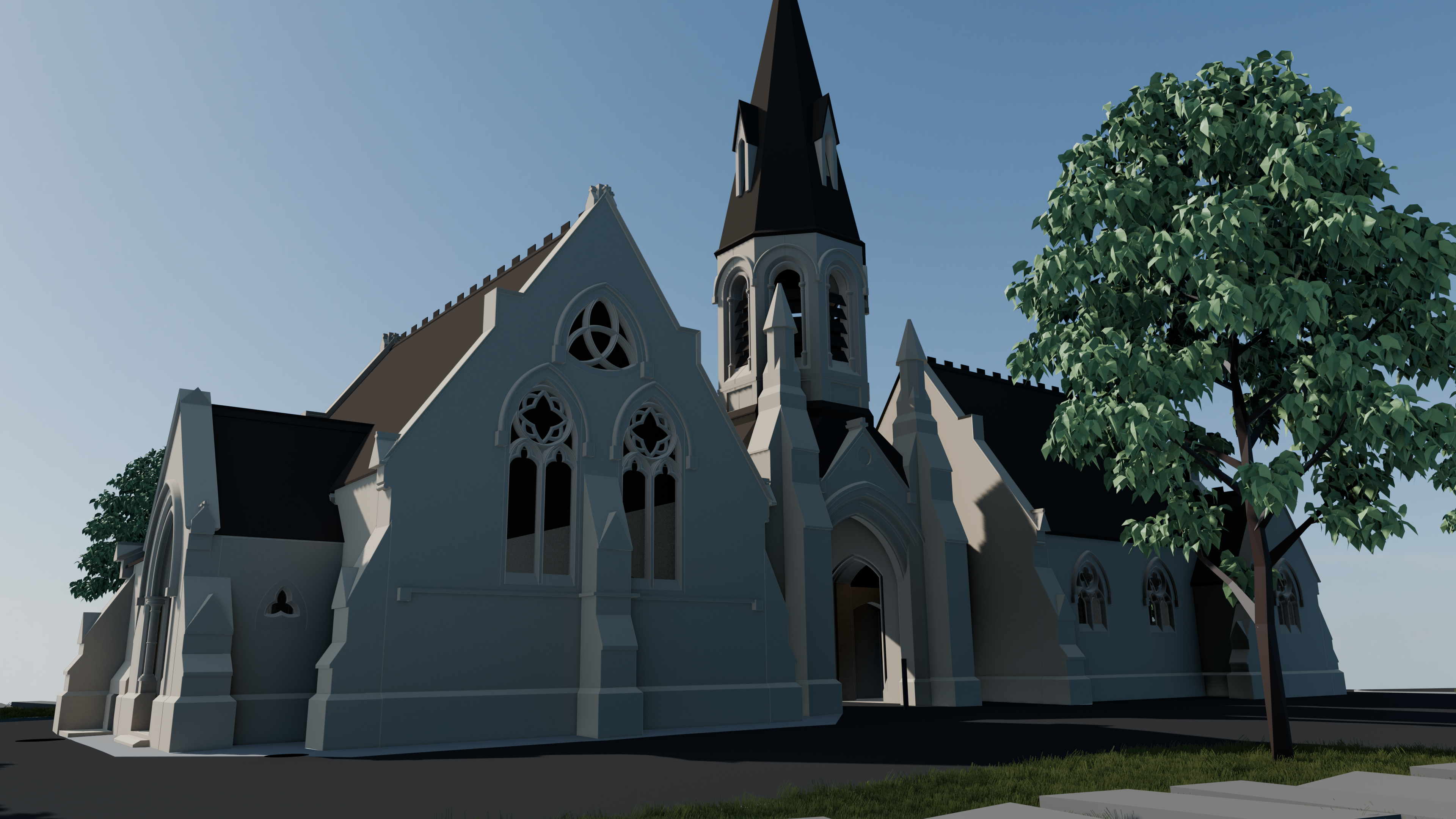
- Ideal for complex, irregular, or historically significant structures
- Produces rich data that supports 3D modelling, BIM, and clash detection
- Reduces the need for repeat site visits, since almost any measurement can be extracted from the point cloud after the fact
Limitations:
- Generates large data sets that require specialist software and processing time
- Can be less cost-effective for very simple, small-scale sites
- Line-of-sight is still required, so scanner positions need careful planning on obstructed sites
Which Method Suits Your Project?
| Project Type | Recommended Approach |
|---|---|
| Standard topographical survey of open land | Traditional surveying |
| Historic buildings or complex facades | Laser scanning |
| Large infrastructure or engineering schemes | Often a combination of both |
| BIM / 3D modelling requirements | Laser scanning |
| Small residential plots | Traditional surveying |
| Sites requiring rapid data capture with minimal access time | Laser scanning |
In practice, many projects benefit from a blended approach — using laser scanning to capture complex or high-detail areas, and traditional methods for straightforward boundary and level data.
Trust the Experts to Choose the Right Method
The best survey method isn’t one-size-fits-all — it depends on your site conditions, project deliverables, and budget. An experienced survey team will assess your requirements and recommend the most efficient and accurate approach.
Not sure which method your project needs? Our chartered surveyors use both traditional and high-definition laser scanning techniques, tailored to each project. Contact us to discuss the best fit for your site.