
How a Measured Building Survey Helps with Building Refurbishment Projects
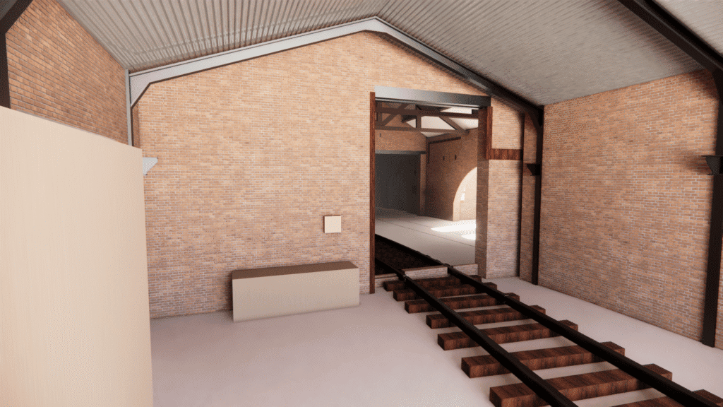
A measured building survey is the single most reliable way to understand exactly what you are working with before a refurbishment project begins, yet it is often the first item cut from a budget. That decision rarely ages well. Ask any architect who has designed a staircase around a wall that turned out to be […]
Utility Survey Insights: The Hidden Costs of Striking Underground Utilities During Construction
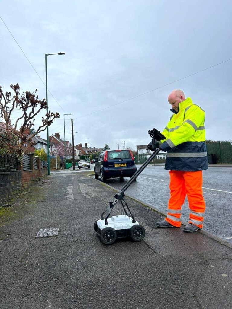
A utility survey is one of the least expensive items on a construction budget, yet skipping it remains one of the most expensive decisions a project team can make. Every year, UK contractors strike tens of thousands of buried cables, gas mains, water pipes and fibre optic networks, and in almost every case the incident […]
Why PAS 128 Utility Surveys Are Becoming the Industry Standard
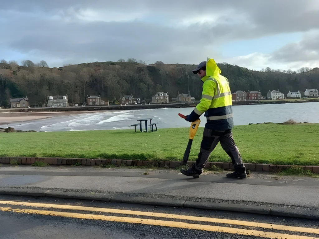
A PAS 128 utility survey is no longer a nice-to-have on UK construction and infrastructure projects. It is rapidly becoming the default requirement written into tenders, pre-construction information packs and client specifications, and for good reason. Anyone who has watched a project stall because an excavator found a high-voltage cable that “was not supposed to […]
How 3D Laser Scanning Improves Accuracy on Complex Construction Projects
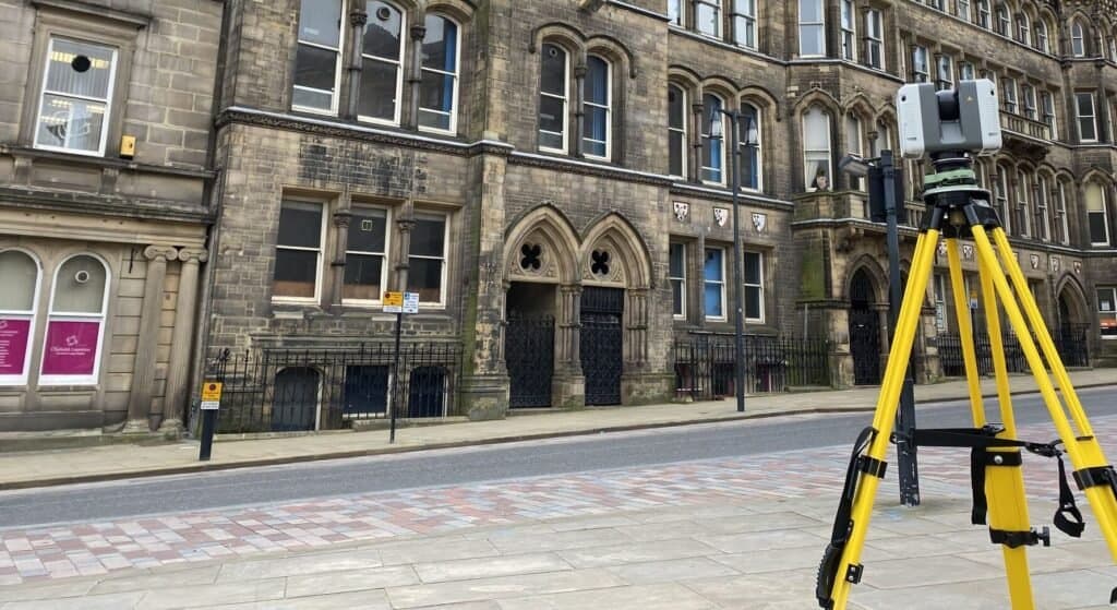
3D laser scanning has quietly become the difference between construction projects that run to programme and those that stall over measurement disputes. Most articles on the subject list the same benefits in the same order: speed, accuracy, safety. What they rarely explain is why accuracy fails on complex projects in the first place, and why […]
When Is 3D Laser Scanning Better Than Traditional Surveying Methods?
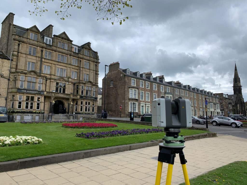
3D laser scanning has become the default recommendation for almost every measurement problem in construction, and that is precisely the problem. Ask three different survey companies whether you need a laser scanning survey or a traditional approach and you will often get three confident, contradictory answers. Most articles on this subject will tell you that […]
How a Drone Survey Can Speed Up Site Inspections Safely

A drone survey can reduce a site inspection that once took three days on foot to a single morning of flying, and it does so without putting a single person on a scaffold, roof edge or unstable embankment. That is not a marketing claim. It is the practical reality that property developers, contractors and infrastructure […]
The Benefits of a Drone Survey for Large Infrastructure Projects
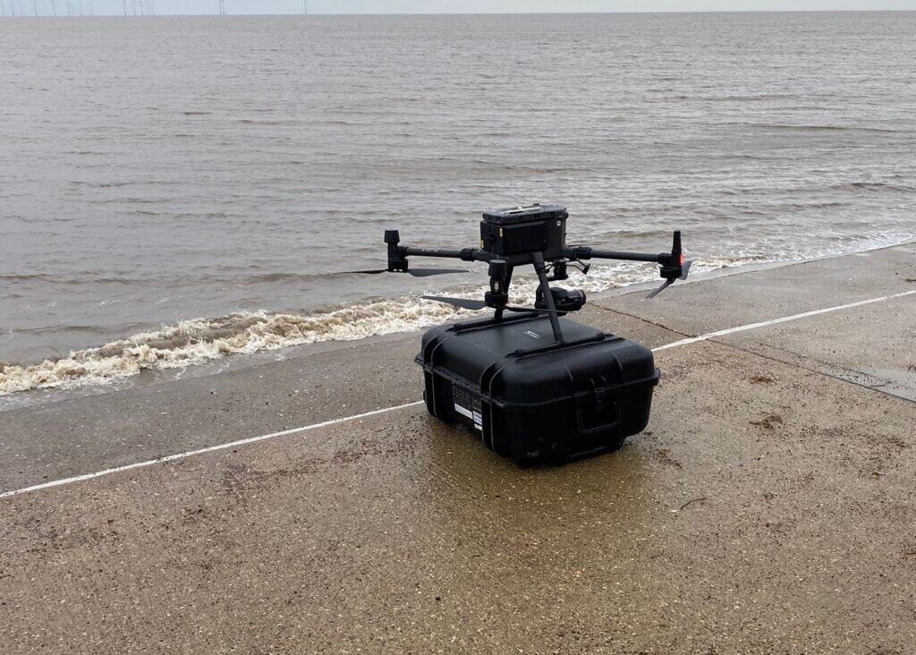
A drone survey can capture accurate spatial data across a large infrastructure site in a fraction of the time a traditional ground survey would take, but that headline benefit is only part of the story. Most articles on this subject stop at “faster, cheaper, safer” and leave it there. If you manage highways, rail, energy […]
Common Mistakes Developers Make Before Ordering a Topographical Survey
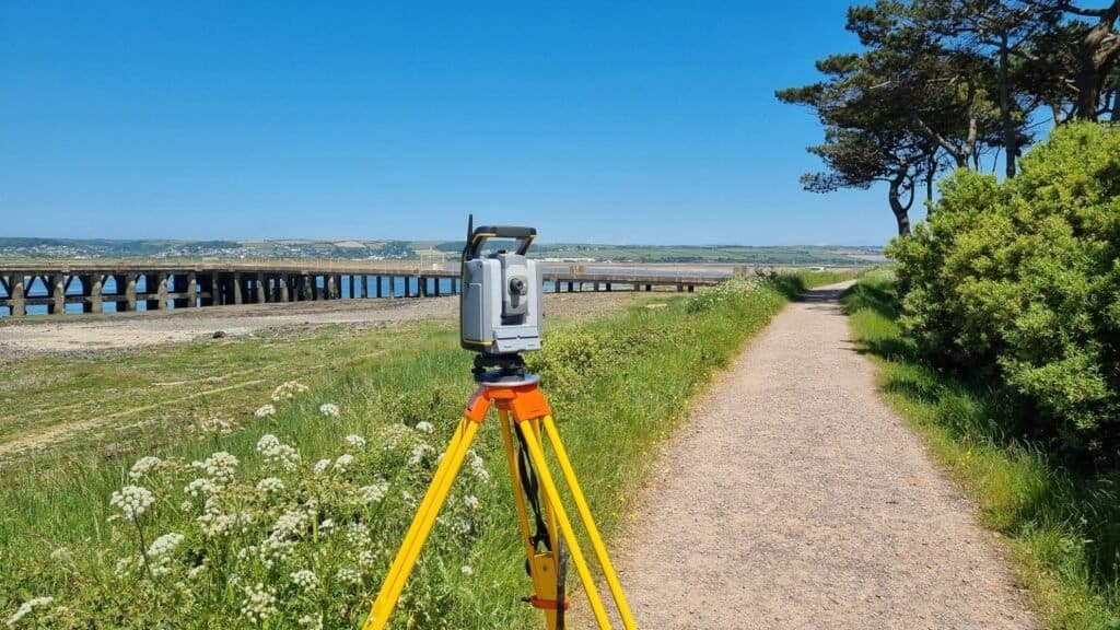
Ordering a topographical survey looks straightforward until the drawings arrive and your architect asks why the levels stop two metres short of the boundary. Most articles on this subject tell you what a topographical survey is. This one assumes you already know, because the real problems on development sites rarely come from misunderstanding the survey […]
PAS 128 Underground Utility Surveys: What Your Project Needs Before Breaking Ground
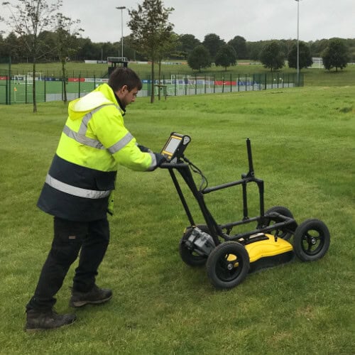
PAS 128 underground utility surveys get specified the same way far too often: a single line in a tender document asking for “a utility survey to PAS 128”, with no quality level, no extent definition, and no deliverable spec. That line decides whether your project hits an unmapped 11kV cable on week two. The industry […]
Measured Building Survey or RICS Building Survey: Which One Your Project Actually Requires
A measured building survey and a RICS building survey share three words and almost nothing else. One produces dimensional drawings for designers; the other produces a condition assessment for buyers. Mixing them up at the brief stage is one of the most common reasons projects get the wrong deliverable, pay twice, or stall at planning. […]